
Naugatuck ZIP Codes And Coverage
Official static sources did not expose a complete list of every Naugatuck delivery ZIP. The strongest verified starting point is 06770, supported by the USPS Naugatuck location. The local listing returns 06770-9994, but ZIP+4 is delivery-specific and should not be stretched across a whole road or town. Exact addresses still need the live USPS tool.
| ZIP | Areas Covered | Post Office | Notes |
|---|---|---|---|
| 06770 | Naugatuck starting point supported by USPS | Naugatuck USPS location | Verify each exact delivery address |
| 06770-9994 | Local USPS location listing | Naugatuck USPS location | ZIP+4 is not a town-wide code |
| Other returned ZIP | Only if the dynamic USPS result supplies one | USPS lookup | Do not infer a full static list |
A ZIP code is delivery geography. It is not a resident roster, a parcel boundary, or proof that a person or company is associated with an address. That distinction shapes every useful ZIP code directory search.
Naugatuck USPS Exact Address
The Naugatuck USPS location listing supports the 06770 starting point. The live USPS ZIP lookup has three modes. Address mode accepts optional company, street, apartment or unit, city, state, and optional ZIP. City/state mode accepts city and state. ZIP/city mode accepts a ZIP and returns associated city data when the service provides it.
Use address mode for a real Naugatuck location. Save the standardized street, city, state, ZIP, and ZIP+4 returned on the checked date. A postal result can correct a suffix or unit format, but USPS itself warns that a ZIP match does not confirm that a particular person or company is tied to the address.
The USPS Naugatuck location listing is the source shown in this capture for the local 06770 reference.
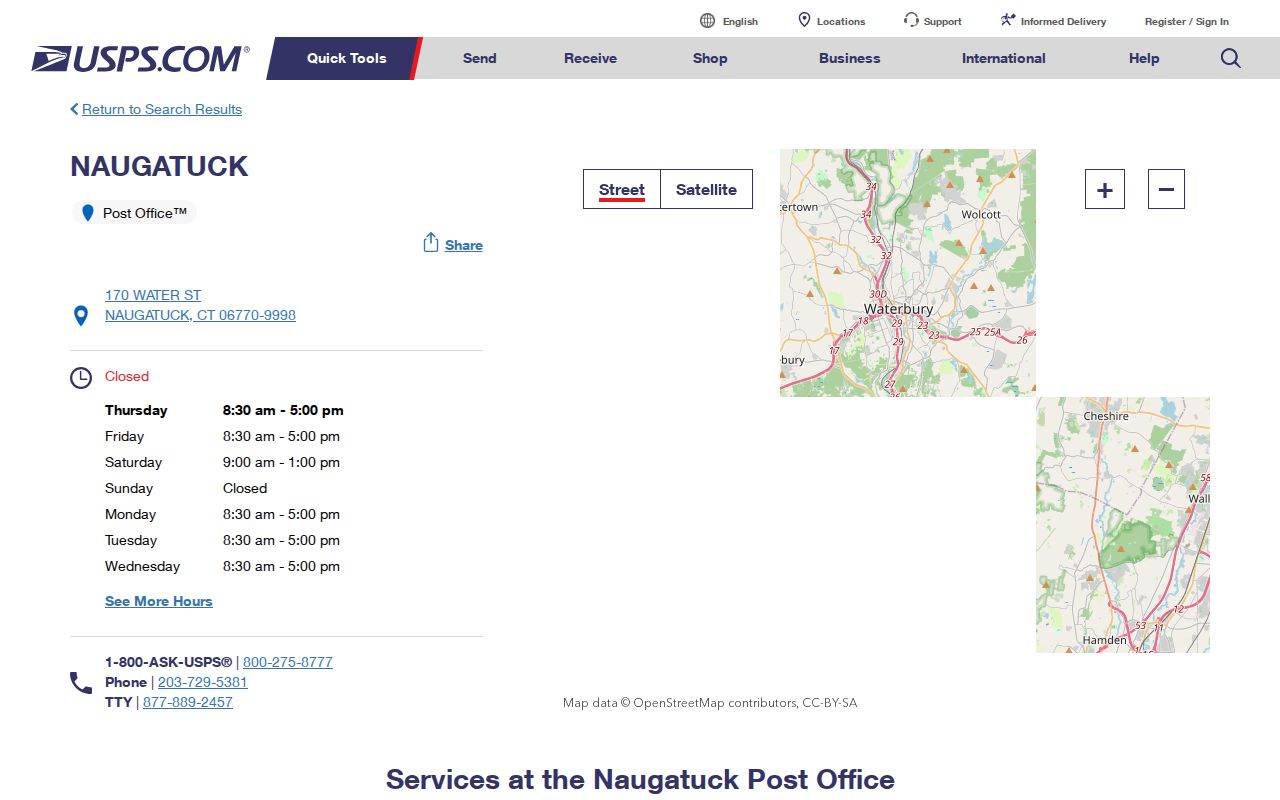
Postal verification is the clean first step, but it must be paired with a parcel or record source for a resident question.
Naugatuck CAMA ZIP Fields
The Connecticut CAMA and Parcel Layer is useful because it distinguishes two ZIP concepts that often get mixed. Its schema includes Town Name, Owner, Co-Owner, Location, Property ZIP, Mailing Address, Mailing City, Mailing State, Mailing ZIP, assessment and sale data, occupancy fields, FIPS, and planning region. The dataset was listed as last updated 07/17/2026, with a municipal transmission process.
| Property ZIP | The ZIP associated with the physical parcel location in the data schema. |
|---|---|
| Mailing ZIP | The ZIP attached to the correspondence address, which can be outside Naugatuck. |
| Location | The parcel street and situs information used with the property key. |
| Owner / Co-Owner | Assessment-related fields that do not prove current occupancy. |
| Sale fields | Sale date and price context, subject to the source’s own status and qualification fields. |
The CAMA schema is a field guide, not a guarantee that every Naugatuck public screen returns every value. Compare Property ZIP and Mailing ZIP instead of choosing one silently.
See the Connecticut CAMA and parcel layer for the data-layer context shown here.
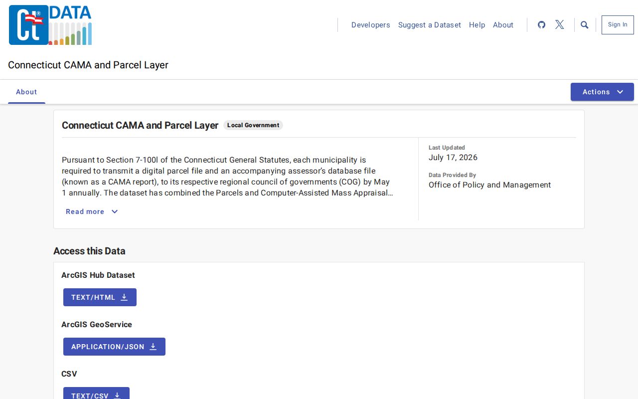
ZIP fields become useful when they stay attached to the parcel, mailing, or assessment label that created them.
Naugatuck Property And Mailing ZIPs
Parcel data and postal data can disagree without either source being wrong. The property location is a physical place. The mailing address may be a different town, a PO Box, or an out-of-town correspondence address. A registered business address, principal address, credential address, and mailing address can also describe different relationships.
A careful ZIP code directory entry reports the source label, record date, MBL or account when relevant, and whether the ZIP came from USPS, CAMA, the assessor, eLicense, or a business filing. Do not use a mailing ZIP to draw a parcel boundary, and do not use a property ZIP to infer who receives mail there.
- ZIP code
- A USPS delivery-area code used to route mail.
- ZIP+4
- A more specific delivery code returned for an exact address when available.
- PO-box ZIP
- A postal designation tied to a box or delivery arrangement, not necessarily a physical parcel.
- ZCTA
- A Census approximation of ZIP geography for statistics, not an exact USPS delivery boundary.
Note: A CAMA Property ZIP and Mailing ZIP can differ because the fields answer different geographic questions.
Naugatuck Court ZIP Search
The Connecticut civil inquiry property-address search accepts a case type, required city or town with at least three characters, optional partial street address, five-digit ZIP, property type as residential, commercial, or all, and case status as active, disposed, or all. It is a narrow foreclosure and summary-process route. It is not a ZIP-to-resident search and cannot replace the assessor, GIS, or deed index.
Foreclosure matters are available on or after January 1, 2014 in the published guidance. Waterbury sessions for the stated category begin on or after March 1, 2016. Save the case number, court location, property search terms, and last-action date. Verify the screen with the Judicial Branch because a public inquiry is not a certified file.
The Connecticut court property-address search shows why the ZIP field must be read with its case-type limits.
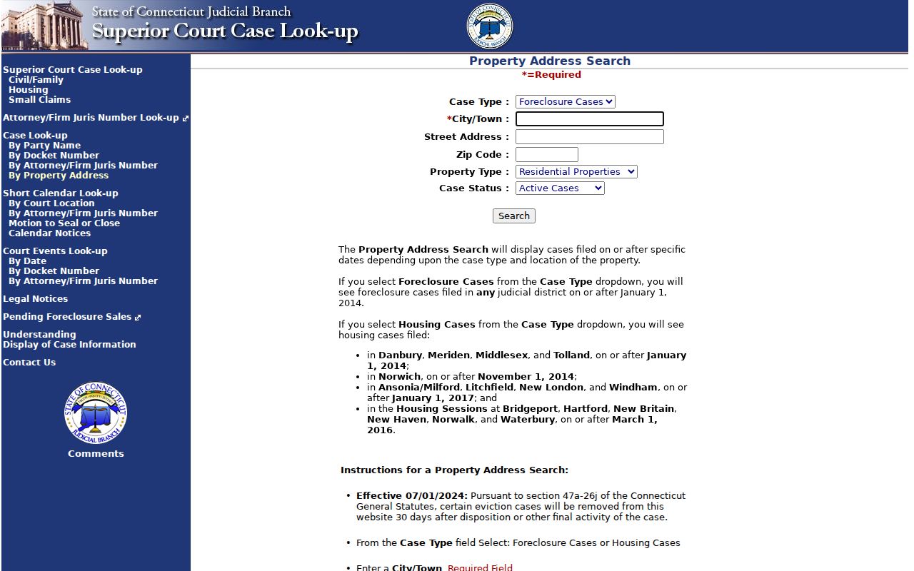
A court ZIP field narrows a case inquiry. It does not define every property or person in the ZIP code.
ZIP Code Boundaries In Naugatuck
Census ZCTAs are designed to approximate USPS ZIP geography for statistical work. The Census ZCTA guidance warns that an approximation is not an exact delivery boundary and does not represent every valid USPS ZIP. A ZCTA polygon should not be presented as a promise about a specific Naugatuck street.
Use USPS for delivery form, Naugatuck GIS for parcels and street layers, the assessor or CAMA for property fields, and Census geography for broad comparison. A town limit and a ZIP code can diverge. A river, planning district, or historic neighborhood can appear in a map without matching postal service boundaries.
The Census ZCTA guidance is the source shown here and a useful reminder to keep statistical and delivery geography separate.
Broad ZIP geography can frame a question, but exact-address work still belongs with USPS and the local parcel record.
Finding Naugatuck Residents By ZIP Code
A ZIP code can narrow a search, but it cannot answer the full resident question. Begin with the exact address or a source-defined ZIP, then use the portal that owns the next fact. The steps below keep the postal key from swallowing the parcel or record context.
- Run the exact street, unit, city, and state through USPS and save the returned ZIP or ZIP+4.
- Compare the USPS form with Naugatuck GIS street and house-number fields and record the MBL or account.
- Read CAMA or property-card Property ZIP and Mailing ZIP separately.
- Use a ZIP field in eLicense, Business.CT.gov, or the court property search only within that system’s stated purpose.
- Once the ZIP narrows to a street, use the Naugatuck street directory address workflow for parcel and deed context.
A search result that returns no name may simply reflect a portal that does not index by ZIP, a hidden field, a different mailing location, or a restricted record. Record the limit rather than filling the gap with an assumption.
Naugatuck Geography And 06770
The official Naugatuck plan frames the town through its 1701 settlement, Naugatuck River, rubber and woolen mills, historic districts, and neighborhood planning. Census QuickFacts supplies dated population context, including a 31,585 2020 base and a 32,230 July 1, 2025 estimate, along with a 22.5% language-other-than-English-at-home measure for ages five and over in 2020-2024. These figures describe town context, not ZIP-level resident counts.
Union City and former mill areas may appear in historical sources as place labels. Older city directories and maps can use a locality name that does not match the current postal form. Keep the historic term, current street, ZIP, and parcel key in separate columns.
ZIP fields also appear in Connecticut eLicense and the Secretary of the State business search. Those systems can narrow a credential or entity record by city and ZIP, but the result remains a license or filing result. A Naugatuck ZIP code directory should state whether a row came from USPS delivery data, CAMA parcel data, a court property search, a credential record, or a business filing.
The practical comparison is simple: USPS answers where mail can be delivered; GIS answers where a parcel sits; CAMA can show property and mailing fields; Census geography helps compare broad areas. The same five digits can appear in all four systems while carrying different meanings. Keep the source name beside the ZIP whenever a result is copied into notes.
Naugatuck ZIP Directory Limits
The Naugatuck ZIP code directory cannot establish that a person lives at every address returned by a postal or parcel search. USPS does not confirm a person or company association. CAMA and assessor fields describe parcel or mailing data. A court property search covers limited case types. eLicense and business filings describe credentials or entities. Census ZCTAs describe approximate statistical geography.
Keep resident research lawful and selective. Link to official sources instead of copying bulk names, full birthdates, voter IDs, phone numbers, or protected addresses. Use a ZIP for address quality, civic geography, family history, parcel research, or scam verification. Do not use a postal match to track, harass, threaten, or harm anyone.
ZIP reminder. Delivery geography is not household proof. Verify the record creator, search date, address type, and parcel or case key before relying on a result.
Recheck live USPS, GIS, CAMA, court, eLicense, and business interfaces before publishing a current ZIP statement. The local 06770 starting point is useful, but an exact address remains the final test.